William S. Sutton
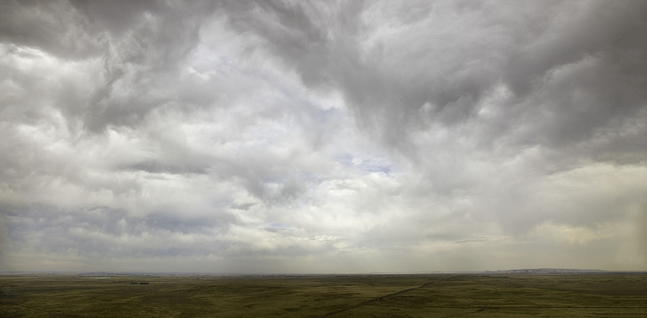


View from Sheahan Ridge. Goshen County. Wyoming. June 13, 2012
Red Hills. Thunder Basin National Grasslands. Converse County. June 16, 2012.
Thunder Basin National Grasslands. Weston County. Wyoming. June 16, 2012
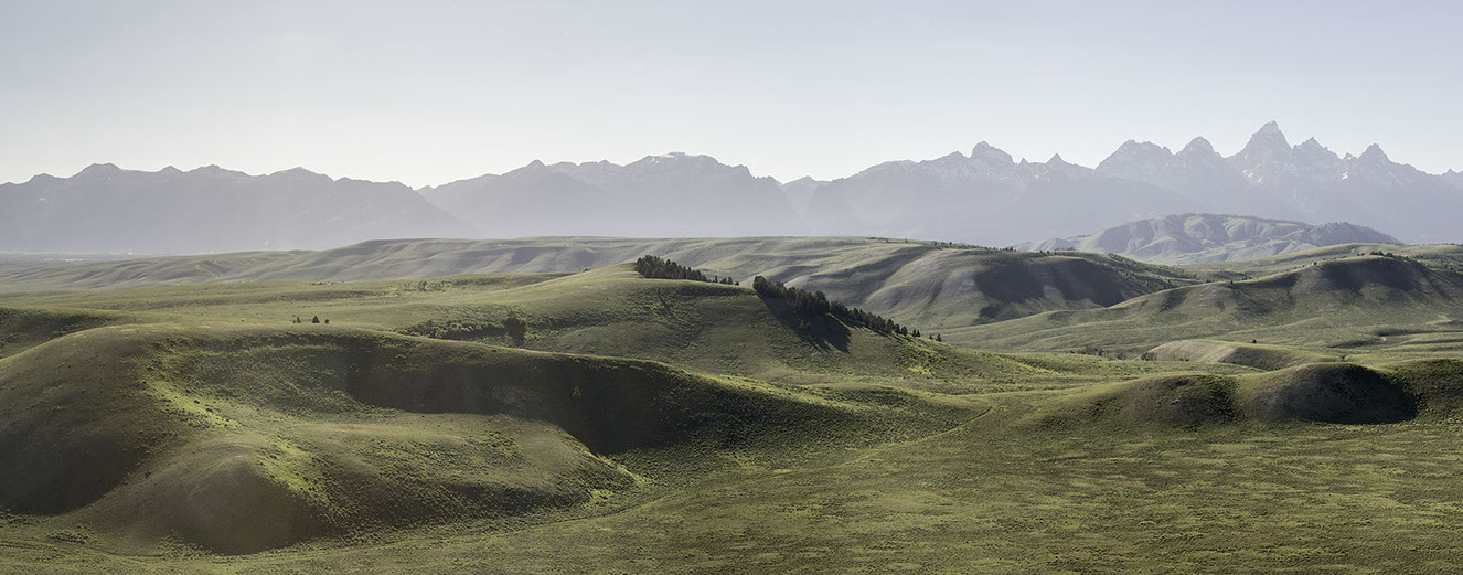
View from Bud Love WHMA. Johnson County. June 18, 2012
LU Ranch. Hot Springs County. June 22, 2012.
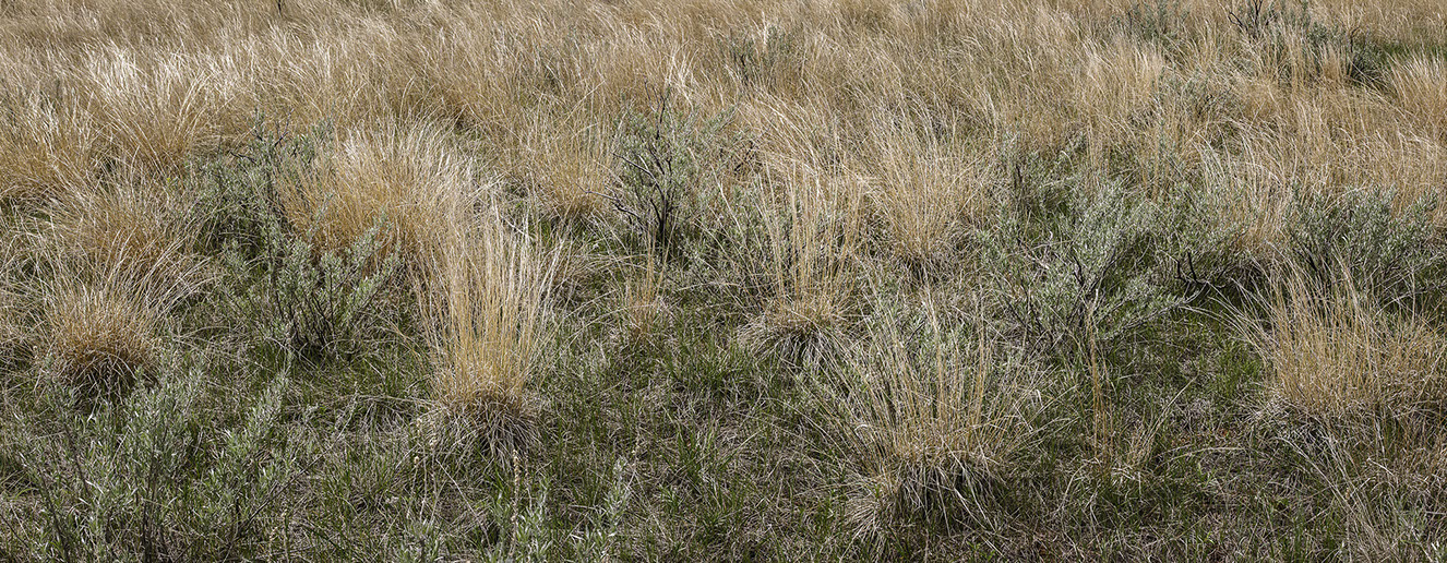
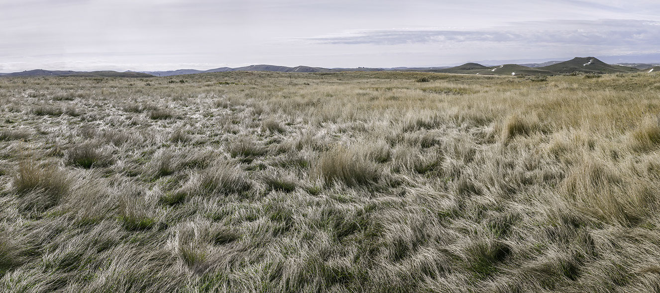
Grass. LU Ranch. Hot Springs County. June 22, 2012
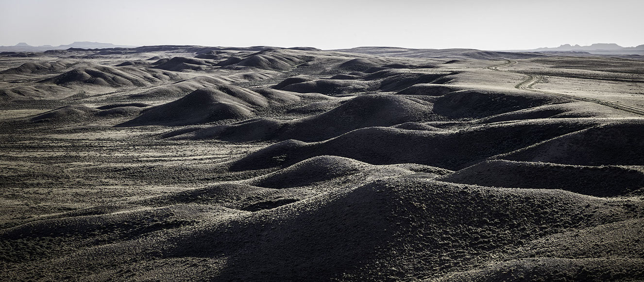
Great Divide Basin Area. Sweetwater County. June 23, 2012.
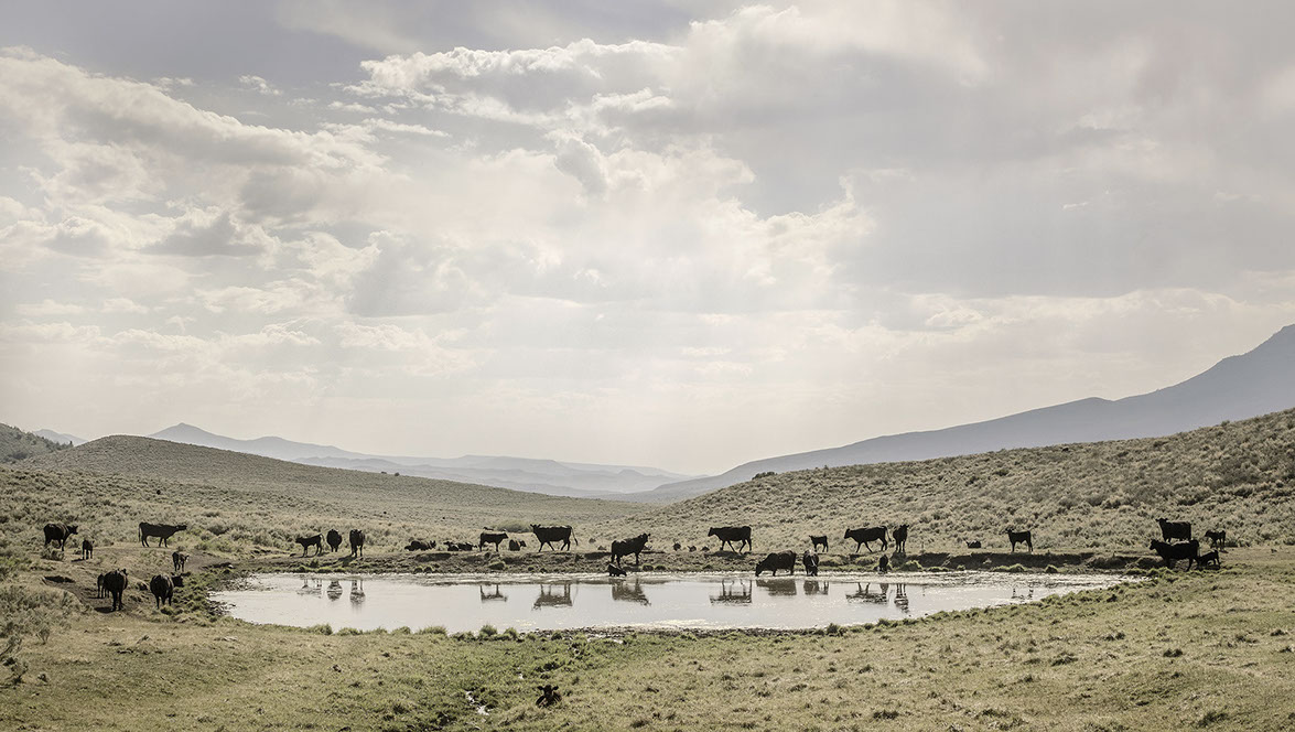
Cows at Tank. O’Toole Ranch. Carbon County. June 25, 2012.
Beaver Divide Area. Fremont County. October 14, 2012.
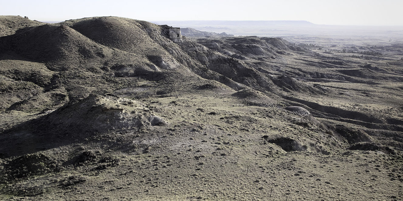
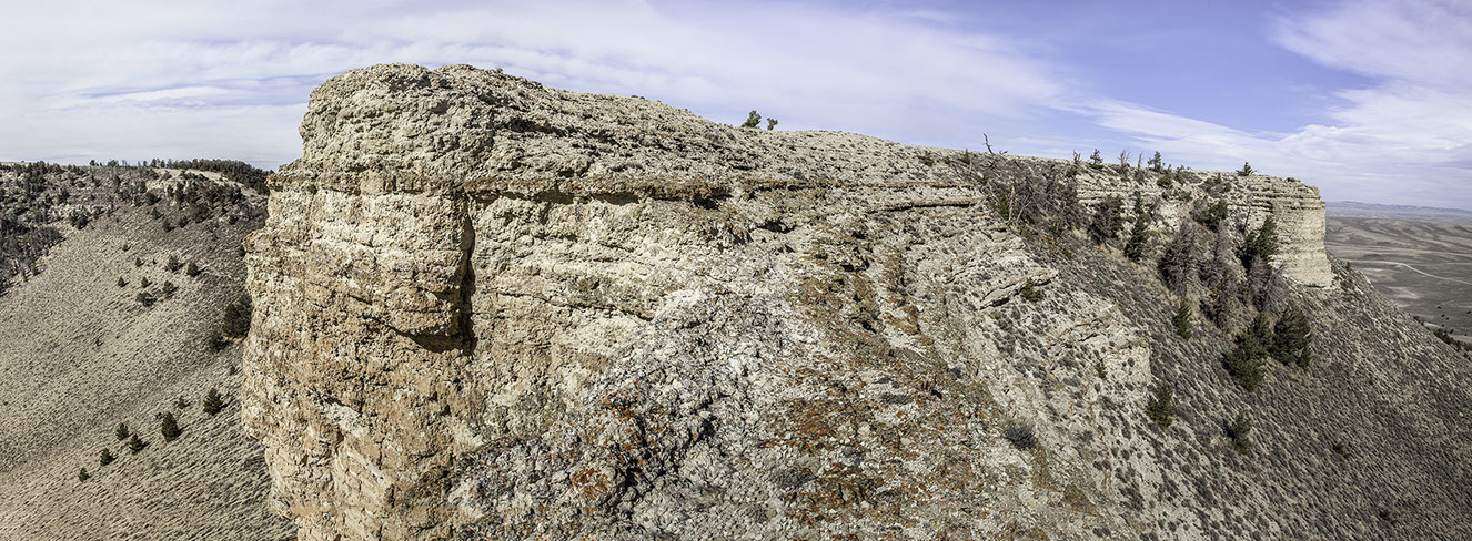
Oregon Buttes. Sweetwater County. October 15, 2012
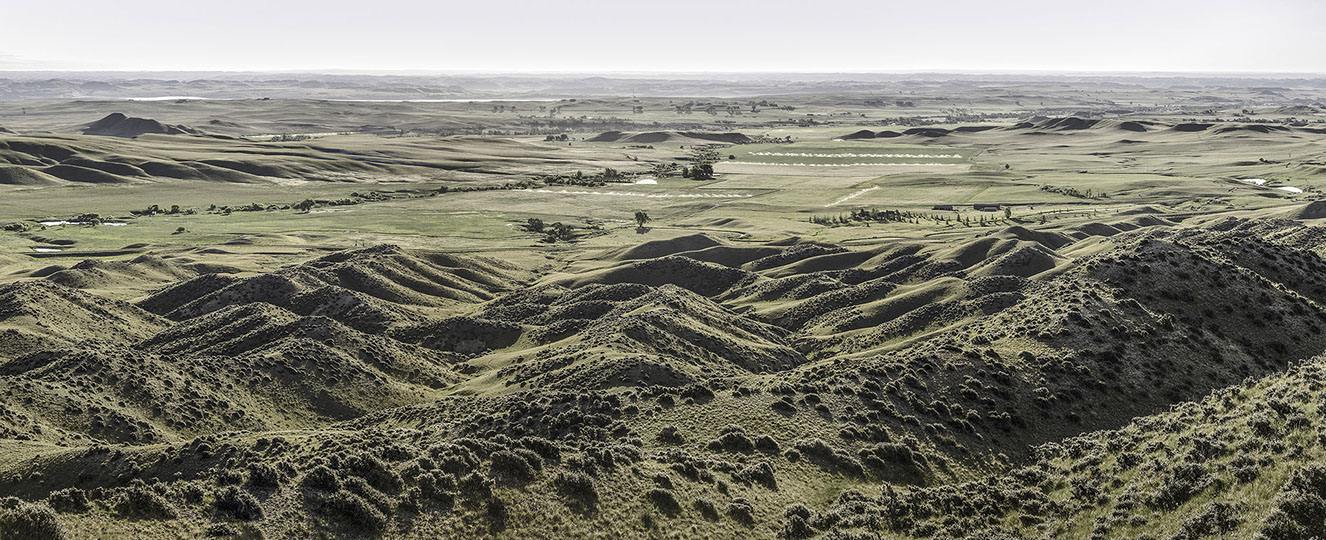
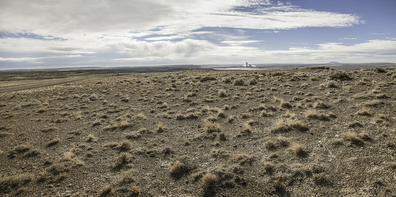
View from Oregon Buttes. Sweetwater County. October 15, 2012
12-11052. Jim Bridger Powerplant. Sweetwater County. October 16, 2012.
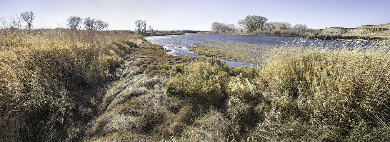
12-12059. North Platte at Pick Bridge. Carbon County. Wyoming. October 17, 2012.
Shirley Basin. Carbon County. May 17, 2013
Grass. Devil’s Tower National Monument. Crook County. May 24, 2013.
Devil’s Tower National Monument. Crook County. Wyoming. May 24, 2013.
Mac’s 40 Acres. Goshen County. May 19, 2013.
Hawk Springs. Goshen County. May 20, 2013.
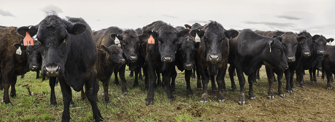
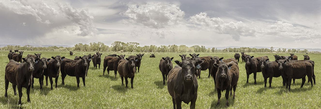
Cows. Laramie County. May 20, 2013.
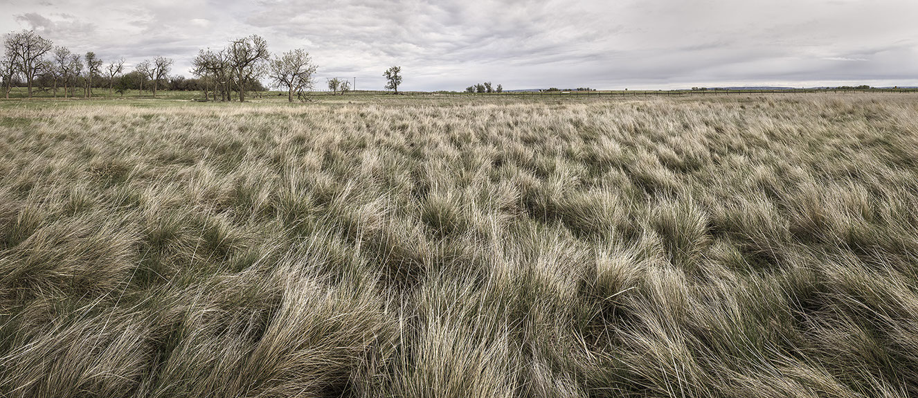
Grass in Rows with Wind. Laramie County. Wyoming. May 20, 2013.
Cows in Field. Laramie County. May 20, 2013.
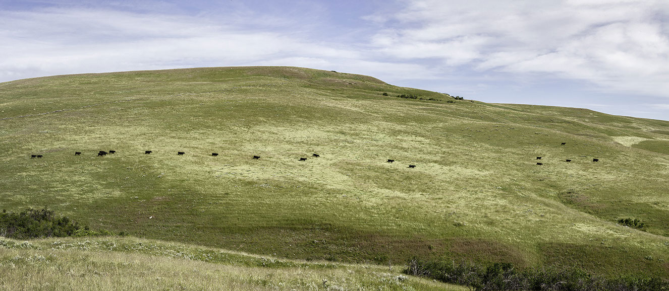
Cows on a Hill. Sheridan County. Wyoming. October 12, 2013.
Horse Creek. Laramie County. Wyoming. May 21, 2013.
Grass. Sheridan County. Wyoming. October 13, 2013.
Medicine Bow River. Johnson Ranch. Carbon County. May 22, 2013.
October Cows. Sheridan County. October 13, 2013.
Dead Cow. Carbon County. May 22, 2013.
Above Ucross. Johnson County. Wyoming. October 15, 2013.
White-tails. Johnson County. October 16, 2013.
White Cloud. Heward Ranch. Carbon County. Wyoming. June 13, 2013.
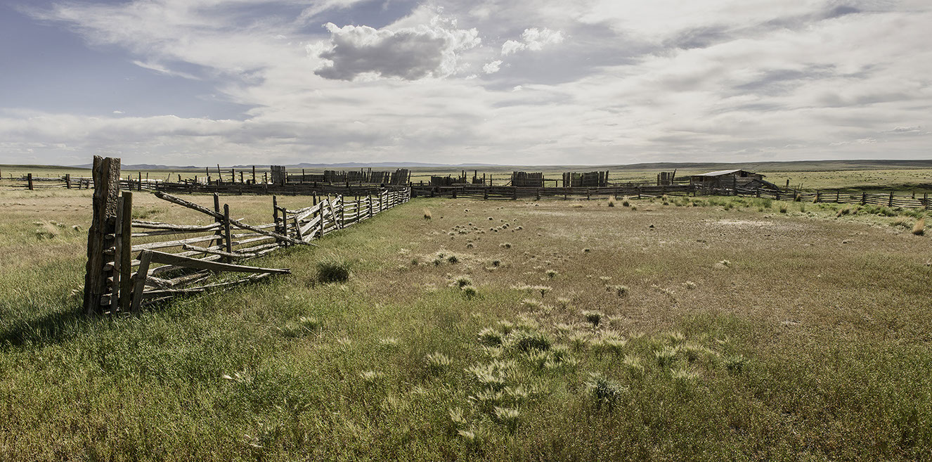
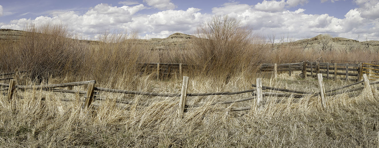
Corral. Heward Ranch. Carbon County. June 15, 2013.
Wick / Buemee WHMA. Carbon County. Wyoming. June 17, 2013.
13-7682. Swan Land and Cattle Company. Cook Rank. Albany County. June 23, 2013.
Swan Land and Cattle Company. Cook Rank. Albany County. June 23, 2013.
Cut Bank. Mormon Row. Grand Teton National Park. June 27, 2013.5
Elk Refuge. Teton County. June 27, 2013.
Wildlife Habitat South of Lance Creek. Niobrara County. June 30, 2013
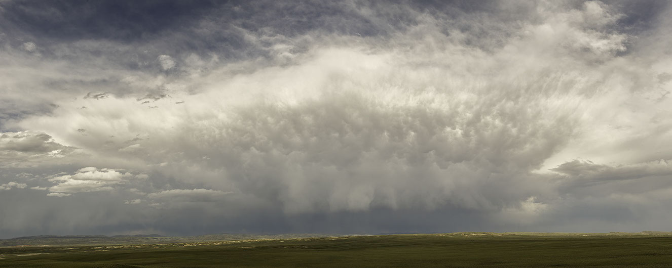
Rain Cloud. Laramie County. July 13, 2013.
Cows and Pasture. Goshen County. July 14, 2013.
Lance Creek. Niobrara County. July 15, 2013.
Fences. Sheridan County. July 17, 2013.
Shoshone National Forest. Park County. July 22, 2013.
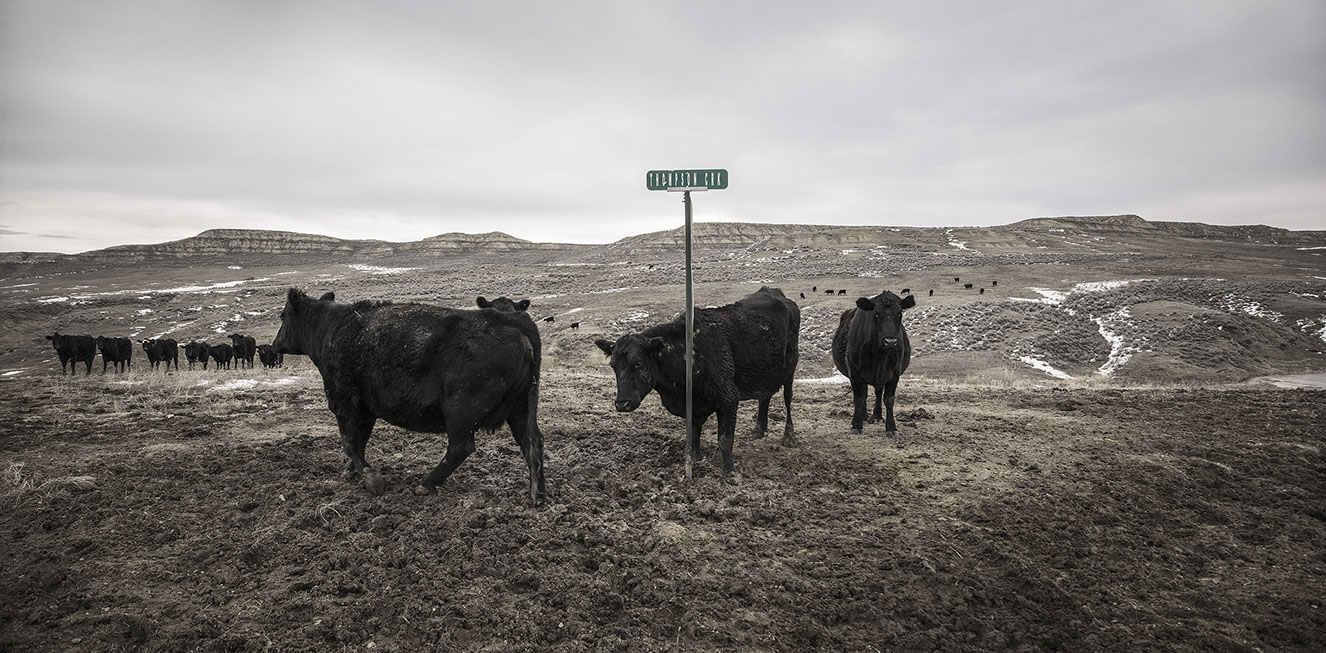
Thompson Creek Cows. Johnson County. March 6, 2014.
Oxbow Fence. Johnson County. Wyoming. March 6, 2014.
Dead Horse. Johnson County. March 8, 2014.
Pick Bridge North Platte Access. Carbon County. May 17, 2014.
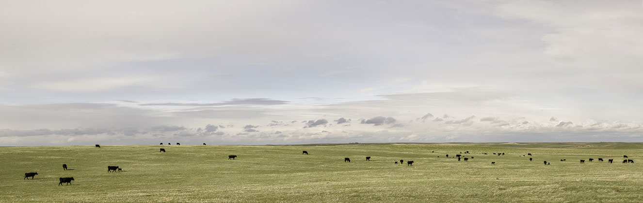
Cows. Natrona County. May 21, 2014.
Cows at Tank. Fremont County. May 22, 2014.
Red Canyon WHMA. Fremont County. May 22, 2014.
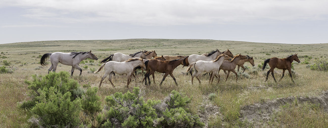
Running Horses. Natrona County. June 17, 2014.
Sprinkler. 2014.
Sheep. Washakie County. June 18, 2014.
Connell Cows. Sheridan County. Wyoming. June 20, 2014.
View Near Fales Rocks. Natrona County. June 21, 2014.
38 - 54
<
>
Wyoming Grasslands Photographic Project
Grass is the elemental expression of the biotic production of place.
The quality and quantity of grass is an expression of the soil, climate, topography, hydrology, geology, and utilization by animals including human beings. To look at grass is to not only see the organic structure of the land, but to also consider the economics expressed in the landscape. Our lives are an interaction of the organic processes of the world with our human aspirations, values, and knowledge. Nothing is random. Every aspect of the landscape is an expression of organic and cultural forces.
William Sutton